High and Dry for 100 Miles: Guadalupe Ridge Trail
Eve Flanigan 07.26.21

Any search for information on backcountry, interstate hikes will yield a wealth of information about the big three: Appalachian, Pacific Crest, and Continental Divide. Those are great, but not everyone is up to a hike that can take months to complete. For those wanting a truly challenging yet shorter backcountry walkabout, one that can be tackled any month of the year, there’s the new kid on the block in the National Recreation Trail system. Christened in 2018 after years of cross-agency and public planning, the Guadalupe Ridge Trail (GRT) covers a bit over 100 miles of territory in Texas and New Mexico.
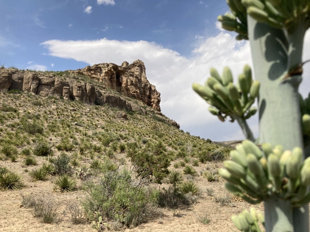
The GRT’s southernmost point is the Guadalupe Mountains National Park Visitor Center. The park holds a dramatic highlight of the walk: Guadalupe Peak, the highest in Texas at 8,751 feet. On a clear day, the views are spectacular, offering a dramatic overview of the ancient Captian Reef. The area is well-known among geology buffs for its exposed layers of rock that, to the educated eye, tell a story about the history of the earth.
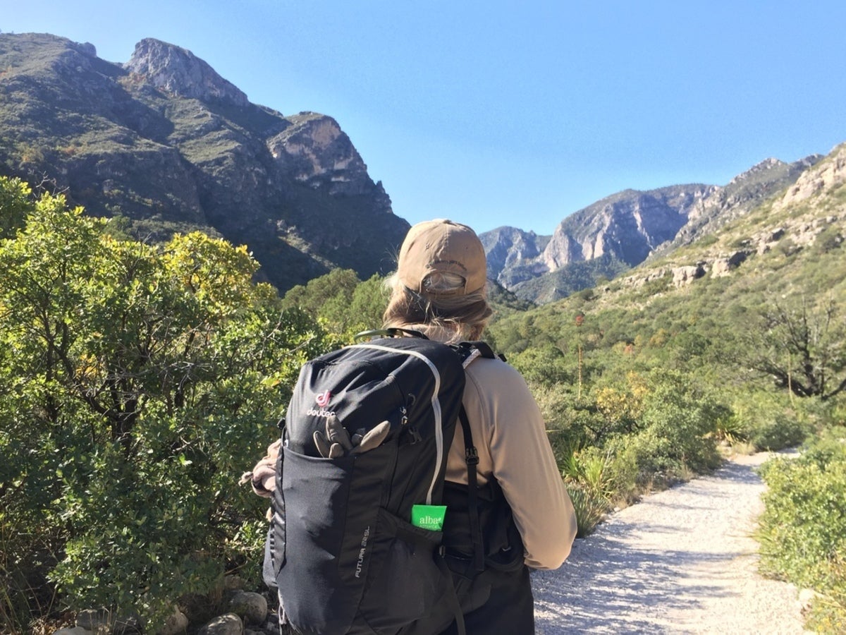
Hikers will also experience popular McKittrick Canyon on the Texas side of the GRT journey. A well-maintained trail offers summer shade, fall colors that are highly unusual for the region, and some stalactite/stalagmite formations tucked into rock shelters. The climb to the top of the Guadalupe Mountain system from McKittrick Canyon then keeps hikers on its often windswept west face for much of the trip. Spring and early summer in the area are known for high winds, but the views on the way are inspirational, and even better-appreciated with some advance study of the area’s rich recorded history and legends.
Recorded and “prehistoric” histories factor strongly on this hike. The Butterfield Stage route, once followed by white settlers, crosses the trail. A bloody war, with ethnic overtones, was fought in the late 1860s over the salt beds that are visible in the lowlands beneath Guadalupe Peak. At numerous places along the GRT, evidence of habitation by indigenous people, most recently the Mescalero Apaches, is plentiful. The notorious Dalton Gang would have crossed the Guadalupe range in their travels across southern New Mexico. In his memoir Mean As Hell, Dee Harkey, a territorial peace officer based in Carlsbad from 1893-1911, documents many a prisoner transport done on horseback between Carlsbad, El Paso, Texas, and points west, which would naturally have included some of the same territory as the GRT. The El Paso detachment of Buffalo Soldiers is known for having fought Apaches in the Guadalupes. Legends of soldiers’ remains being found in the area abound. These are a small sampling of a wealth of historical references available regarding the area.
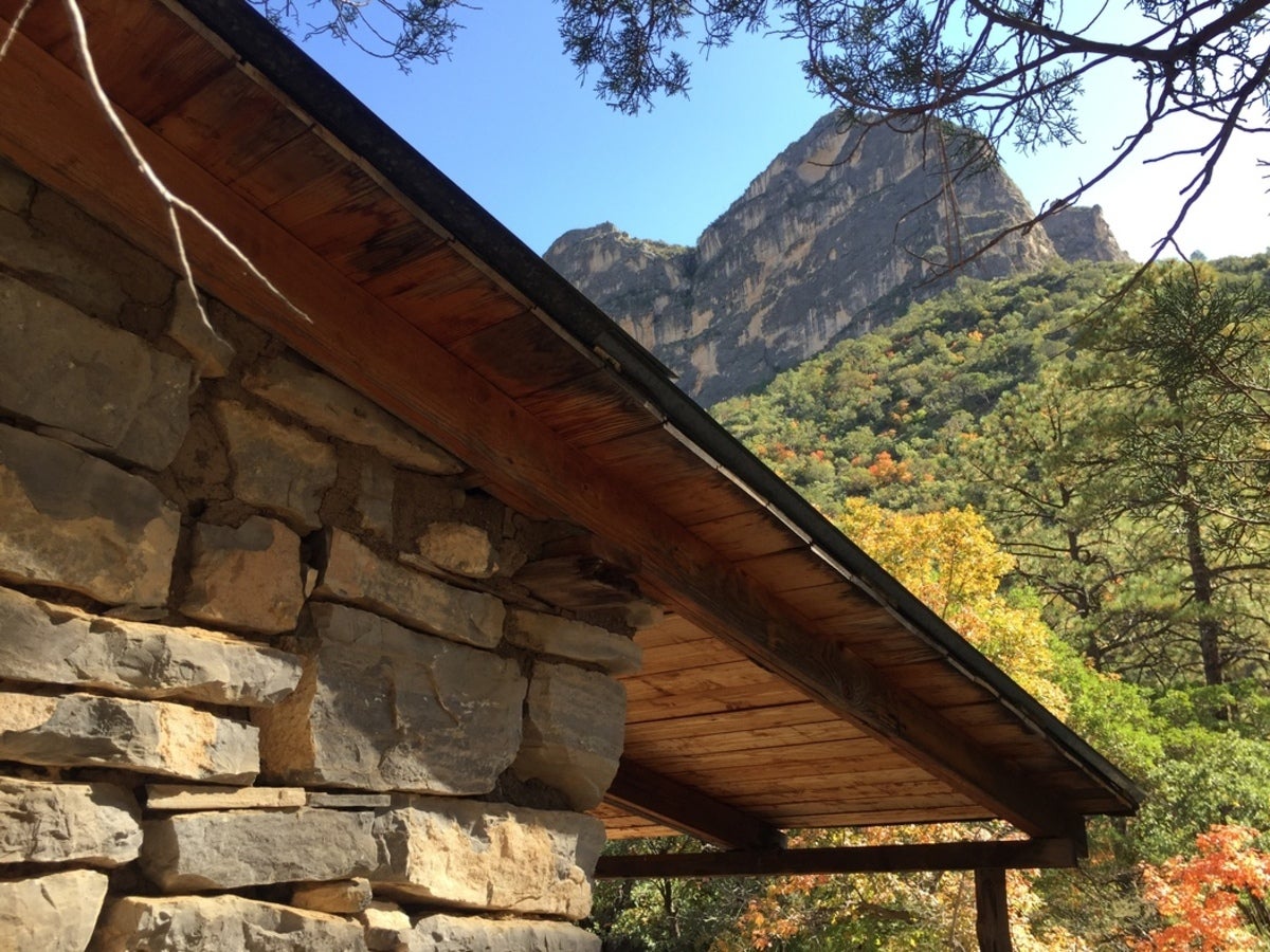
Once in New Mexico, hikers will enjoy greater solitude in remote territory. There’s a choice of going a direct route through Carlsbad Caverns National Park to the GRT’s north end in White’s City, New Mexico, but the more scenic, intended, adventurous route is the Sitting Bull Falls loop, which as the name implies includes a historic water attraction.
Unless the hike is done during a monsoon, which can occur from July through October in the area, Sitting Bull Falls is likely the only source of naturally available (but not potable without purification) water on the route, save for a cattle water tank or two along the short section of Lincoln National Forest. Previous GRT hikers suggest staging water at the Dark Canyon Lookout tower; however, a backup plan is highly suggested if attempting the entire route at once. Cellular communications and wheeled access are nonexistent for much of the hike, so a solid plan for hydration is essential.
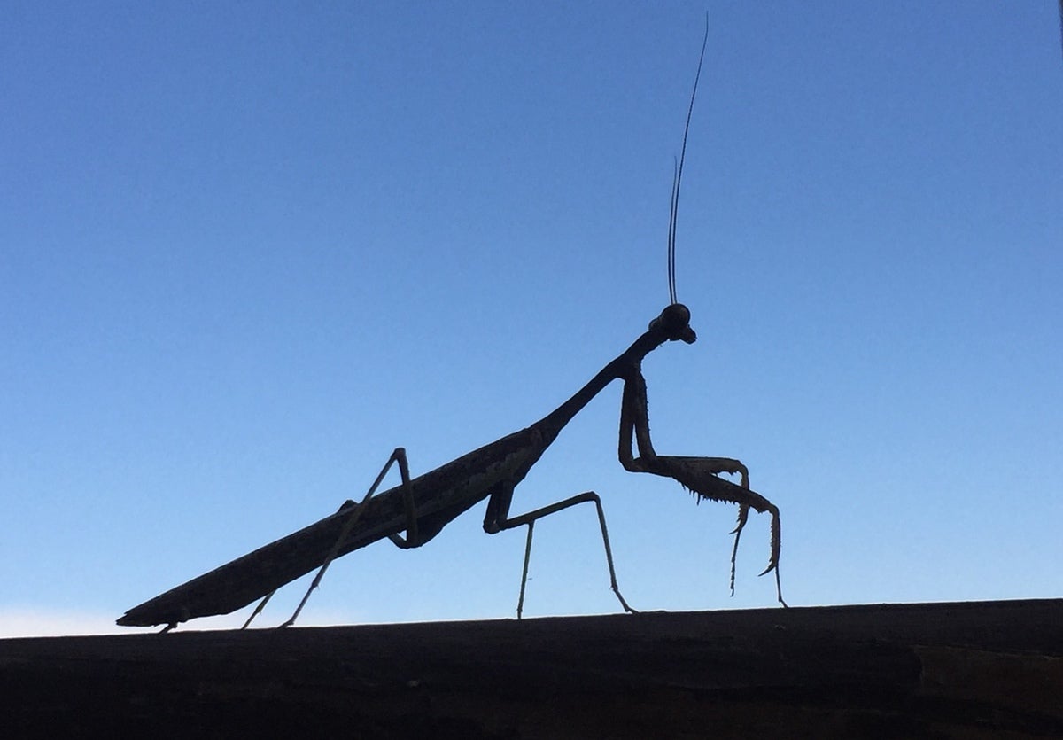
Wildlife is not abundant by some standards, but a wide variety live in the region and will be encountered by hikers sooner or later. Mule deer and non-native Barbary Sheep are commonly seen. Collared peccary, Merriam turkey, elk, ringtail cat, mountain lion, and rarely, black bear are all possible sightings. A variety of songbirds, especially in the wet portions of the hike, can be viewed. Summertime insect life in the Chihuahuan desert could fill a museum with examples of remarkably large beetles and other unusual critters like vinegaroons, tarantulas, and ten-inch centipedes. And of course there are rattlesnakes – a good reason to tread with care. Visitors unfamiliar with western ranching may be unpleasantly surprised at the presence of cattle roaming as wild on portions of the trail. Ranching provides a constant supply of water though, a great asset for wildlife in an area that has been known to have less than six inches of rainfall in a year. Cattle tanks are also a great hiker’s resource when proper purification supplies are on hand.
At least one summary refers to the GRT as mostly an abandoned jeep road, and while that may be true it perhaps leaves this impression that the GRT is easily navigated. On the contrary; it is rated as difficult. There are expanses that are not on an old road, and were hand-cut by National Park and US Forest Service employees and volunteers. Orienteering skills are a must. There is no reliable GPS signal on the trail. Some hikers have remarked that the way is not discernible in places, and they had to self-navigate. This writer lost her way around the juncture of White Oak and the aptly-named Last Chance Canyon trails, part of the Sitting Bull Falls loop of the GRT. While it didn’t take long to retrace back to a marked trail, the terrain between was challenging indeed. That mistake also led to the unforgettable, wondrous, and terrifying experience of meeting a mountain lion on its home turf.
The GRT is a wild, wildland adventure for those willing to take time to plan for overnight permitting required to navigate the Guadalupe Mountains (GUMO) and Carlsbad Caverns National Park (CCNP) portions, controlled by National Park Service. In New Mexico, US Forest Service rangers are generally welcoming and knowledgeable about their trail system. The GRT intersects or runs concurrent with several existing trails in both the NPS and USFS systems. Backcountry Hunts, a Carlsbad-based outfitter, can coordinate supply drops, or make things a little easier and do this hike in a series of day trips, separated by a night at GUMO’s Pine Springs Campground (first come, first serve, often full), and the rest in the small town of Carlsbad, where lodging is currently plentiful and affordable after many years of not being either. Advance planning is required for any big hike, and this is one worth the notch in your walking stick.
