onX Offroad: Trail Guiding and Featuring a Trail
Doc Rader 07.21.22

onX Offroad arguably has the best-in-class trail data. What makes their data robust is the “Featured Trails” component. Standard trails are highlighted in green, and these are created from a number of sources. Featured Trails, on the other hand, are curated by actual people (“Trail Guides”) and then reviewed by onX staff.
Good day everyone and welcome to a new installment of AllOutdoor's Off-Road and Overlanding series brought to you by onX Offroad--mapping software for all your adventures.
I applied to the Trail Guide program and was accepted. To remain in the program, you are required to submit at least one trail a year, and there are perks for submitting more (and, obviously, having those trails accepted). The idea is that trails are curated by people that actually traveled on the route and who have the ability to assess difficulty and document conditions and features of the trail. There is a strong emphasis on ethical travel and following the principles of “Tread Lightly“–as there should be.
For this post, I decided to document my journey of documenting my first featured trail.
I’ve been on the road a ton lately, traveling to classes and events (like Overland Expo PNW), and finally was home long enough to get caught up on the mundane aspects of life–like cleaning the garage and mowing the lawn. Once all of the accumulated chores were done and the wife was happy, I was able to go out and finally try to make a trail, not just for fun but to share with others and contribute back to the community of onX.
I needed to make a day trip of it so I could not range too far. We own a little chunk of land down in central New Mexico near the Magdalena Mountains. It is about a two-hour drive to get there, and I figured there would be some nearby trails in the surrounding BLM and Forest Service land. I opened onX and started to search.
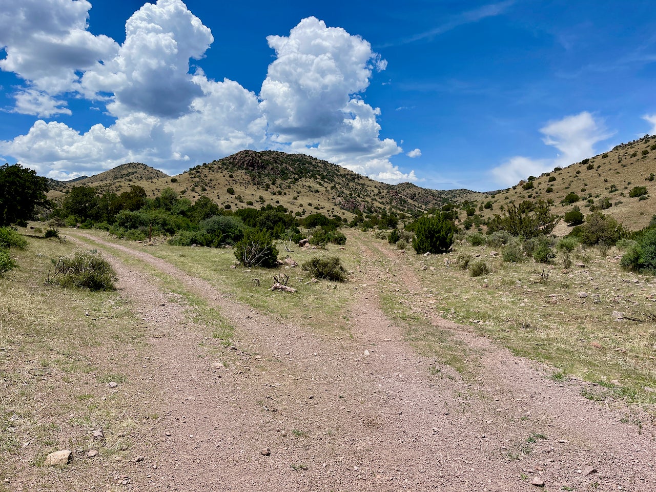
Sure enough, there were a few trails–and even some featured ones. I found a short run that was still “green” (meaning not “featured”), and it had some additional two-track indicated on the maps. It was also near enough to my land that I thought it would be a good place to explore for camping and hunting opportunities.
I download offline maps of the area–very important to do if you think you might end up out of cell range–grabbed my day travel kits, and headed on the road. After doing a quick check of my property, I hopped on the road indicated on the map and started making my way to the start of the indicated trail.
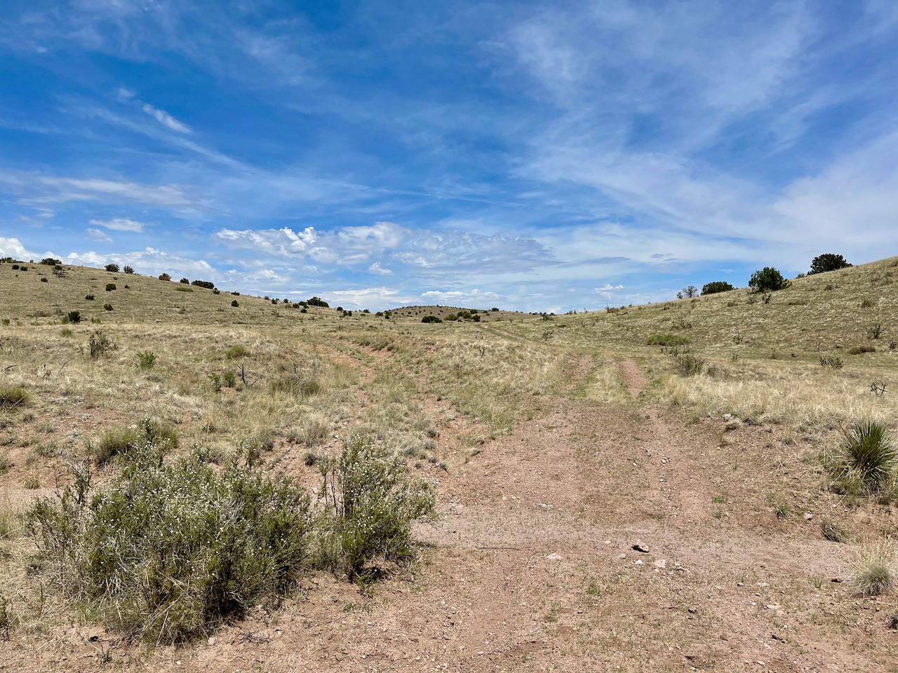
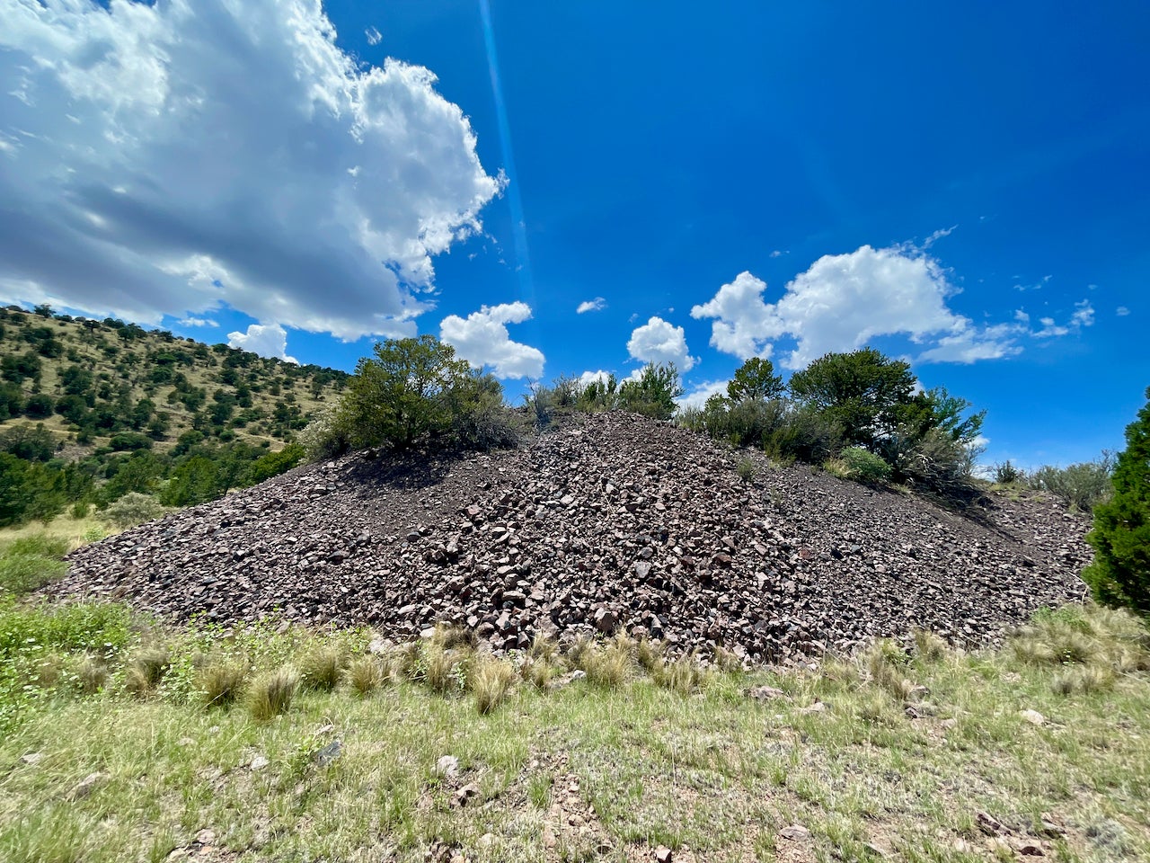
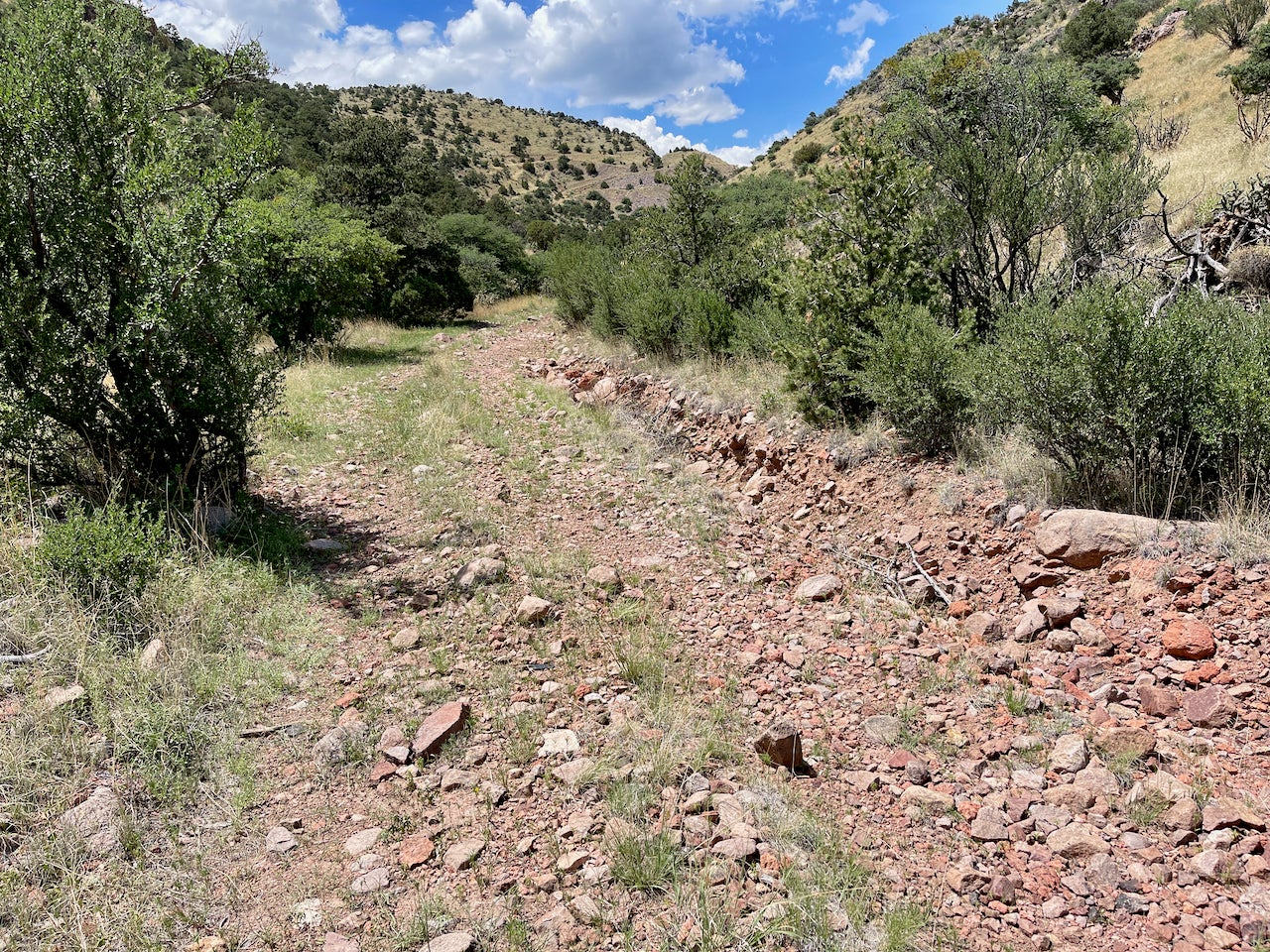
I could tell that the two-track had not been traveled on in a while, but it was still easy to make out. Prairie grass will start filling in quickly, especially now that we are in our monsoon season out here. It is important to stay on the trail so that you don’t damage other areas (which can cause erosion and a number of other problems). In this location, it is active ranch land, and cattle are managed throughout the area–so two track is generally accessible to farm trucks.
I encountered a couple of closed gates, which is to be expected when transitioning through different land management areas, in this case, from private easement to BLM land. When passing through boundaries, leave them as you find them–if you pass through a closed gate, secure it behind you.
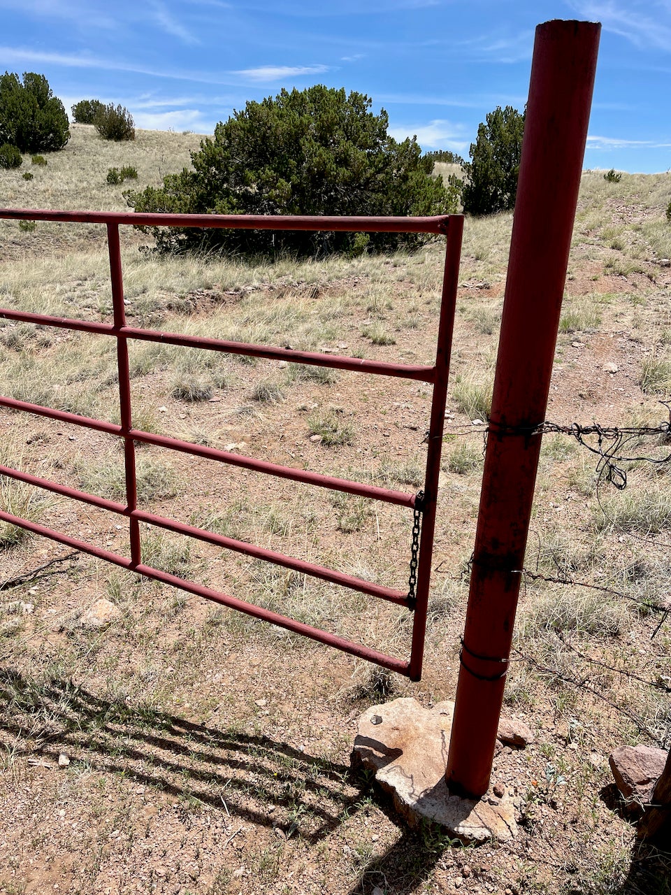
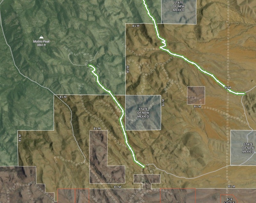
It was at this point that I encountered my first difficulty. There was a weird section of private property surrounded by BLM land, and the property owner had actually fenced in a section of BLM without putting in a gate. The practical result of this is that the route was blocked. I scouted around on foot and could clearly see where the two-track was supposed to go, but there was a fence blocking access. I continued scouting to see if there was a new around but no luck.
I backtracked through the last gate and was making my way to the next gate with the intention of finding an alternate way to the trailhead when I noticed a trail just on the other side of the paddock, next to a large opening in the fence. It led down to a wash with lots of evidence of travel, and I could route around and get back on the original trail–it looks like the property owner had built an easier way to access that area. That said, it did clip through a corner of their property. I attempted to make contact with the owner but had no luck, so I continued on. Ultimately I made it to the four-way intersection where the trail started.
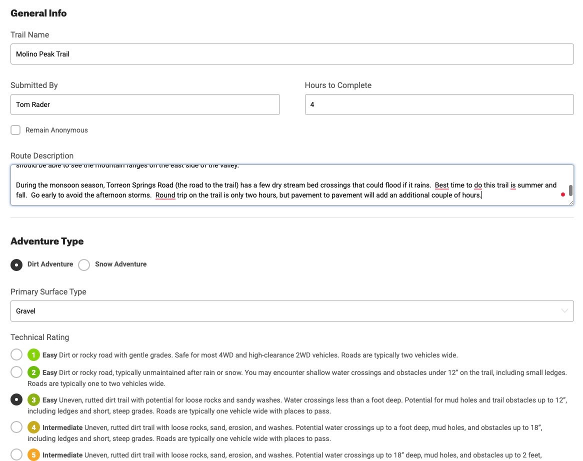
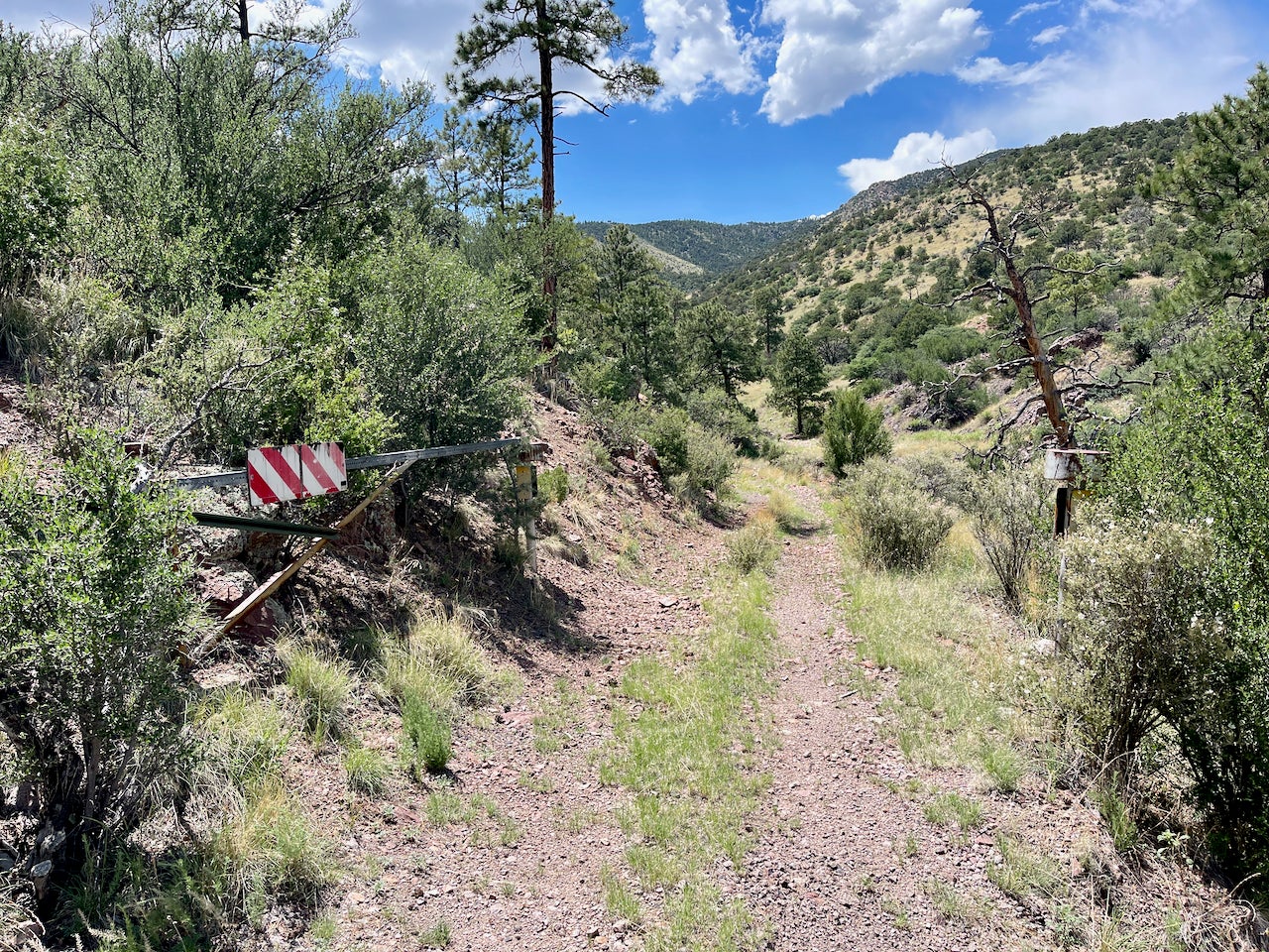
I ran the trail and documented the components required for Featured Trail submission, including a bunch of pictures. The original onX trail ended at an area where the road could be closed (presumably for winter), but the barrier was open, and I was able to push farther in–almost a full additional mile.
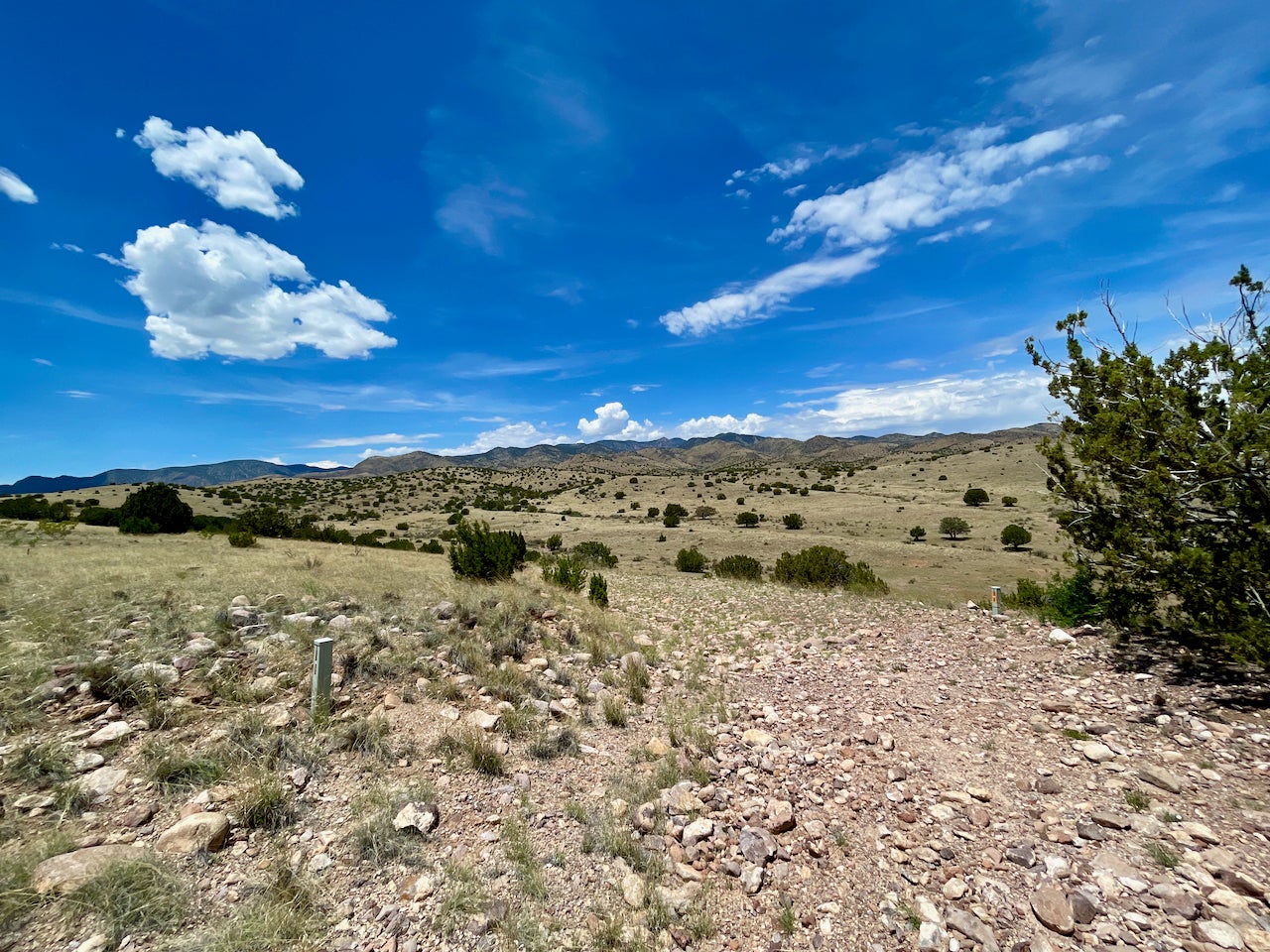
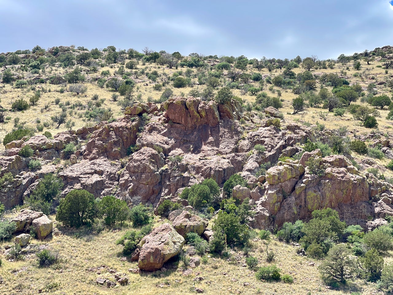
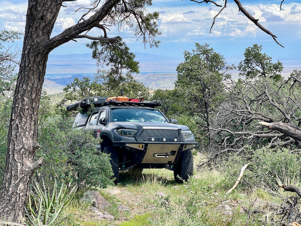
The last half mile of the trail became narrow with tight turns and was really suited more for an ATV than a long bed Tacoma, but I’m used to navigating her through all manner of terrain. I did end up with some pin-striping, which is why I am a firm believer in getting a vinyl wrap. I made it as far as was safe in a vehicle and then enjoyed a short hike up to a nearby peak, where I enjoyed a snack and some high-quality H2O.
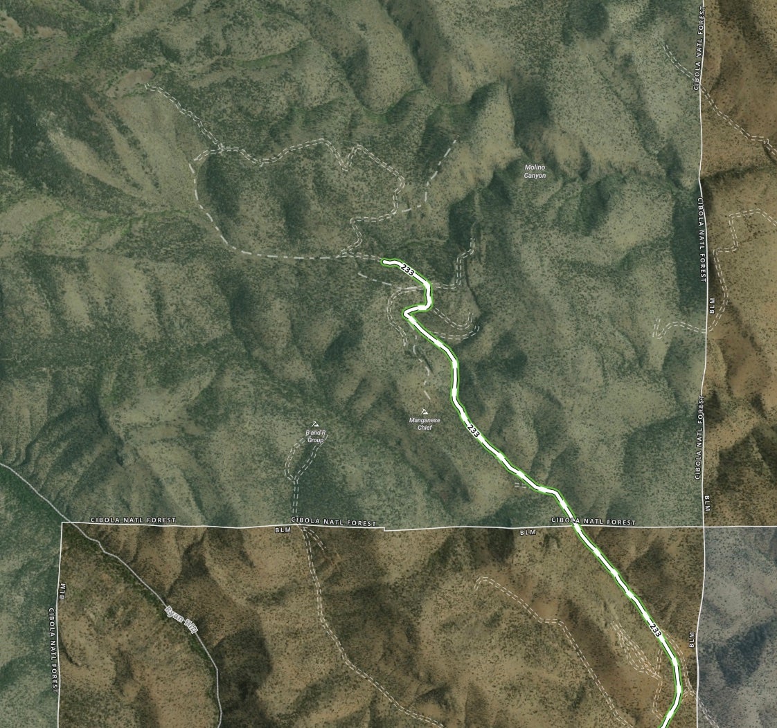
I returned to my truck, made my way down the trail, and took a different way out–along a dirt and gravel road. I ended up recommending this other way as the entry to the trail for a couple of reasons.
First, the property owner could block access at any time, and cutting a new trail is not acceptable. While they should provide access via an easement through public lands, this was waaaaaay back in there, and I doubt any amount of fuss would really make a difference.
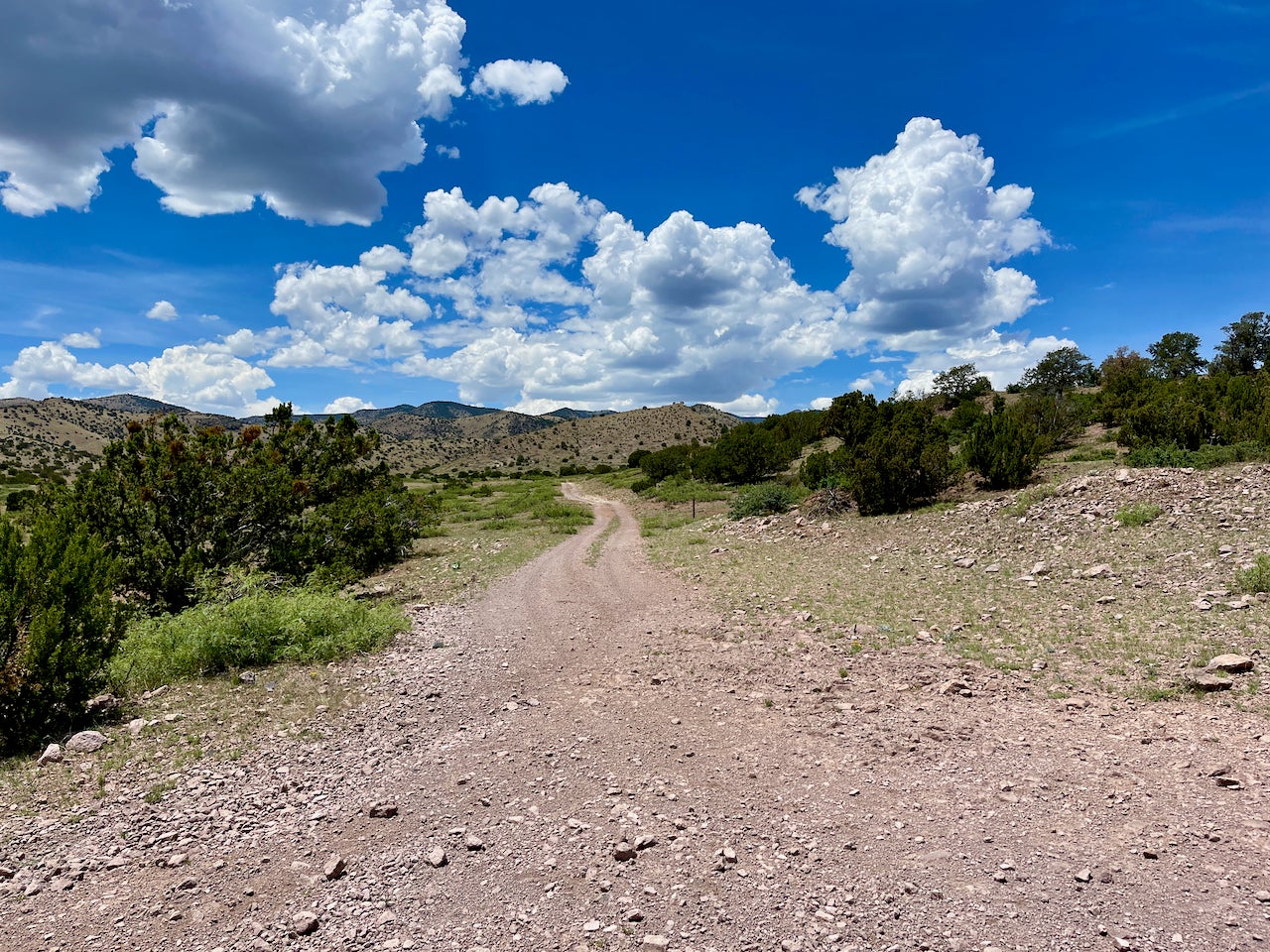
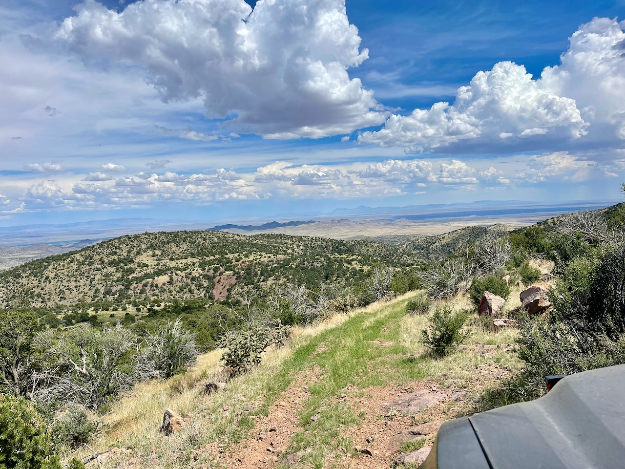
The second reason is that the road, while longer, was actually a whole lot more scenic. There are rolling hills and sweeping views. A few washes to cross (which could be tricky if it is raining). Overall it was a much better choice for accessing the trailhead. And I suppose that is one of the reasons to have a person curating the trails–so that there is an actual real assessment of the trail and access to provide the best experience for off-roaders and overlanders.
If you know of any good trails and like sharing them with others, check out onX Offroad and apply for the Trail Guide program. The app only gets better as more people contribute…
Off-Road and Overlanding is sponsored by
![]()
To subscribe, visit: https://subscribe.onxmaps.com/offroad/purchase/membership
